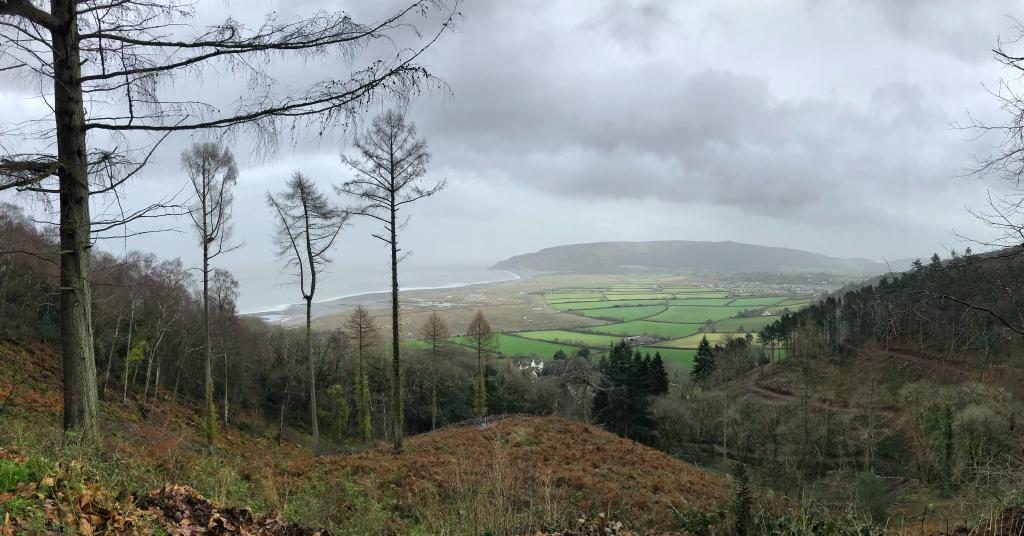
Walks around Porlock Weir
Porlock Weir is the perfect base for those keen to explore Exmoor on foot. What makes this part of the world so unique is its diverse terrain, which makes walking here so appealing. Whether along the coast, through woodland, across moorland or elevated farmland – there are walking options for all ages, abilities and energy levels. From 30 minute strolls out to the Gore and back, to ambitious day long walks along the South West Coastal Path, there really is something for everyone.
Short Walks
Porlock Weir short woodland loop
Explore the woods and wildlife above the Weir in this short 1.5 mile loop – beautiful and sheltered in all seasons and all weather. Starting at the Weir car park, follow the road up the hill with the Ship Inn on your right. At the top of the hill, turn right along the lane, and after ~50m take the first footpath on your right, heading up into the woods. Follow the path as it zigzags up the hill, then at the footpath junction take the bridleway track leading down the hill towards Porlockford. When you reach the community centre, turn left onto the road and follow it back to the Weir.
Porlock Weir to the Gore
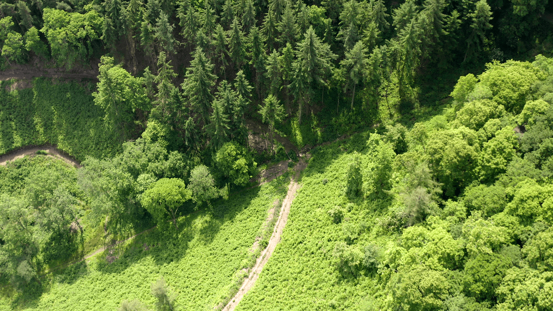
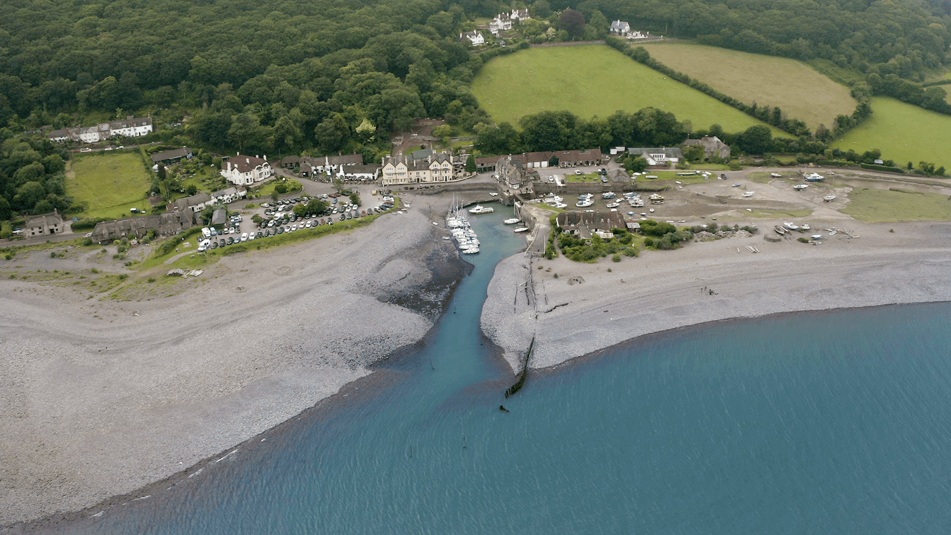
This is a flat 2 mile walk which takes you to the Gore, at the end of Porlock Bay. This place has a wild and rugged feel to it, with a spectacular backdrop of Foreland point and steep wooded slopes literally tumbling into the sea. On a rough day it’s easy to imagine why the Ketch Lizzy was shipwrecked here in a storm in 1854.
Starting in the Porlock Weir car park, walk past the hotel, and continue west. Do not cross the footbridge, but follow the track to the left of the harbour shop. Keeping the harbour on your right, follow the footpath into the field, and continue until you hit the beach. The adventures can continue to the smuggler’s lookout, build into to the foot of the cliffs. To return, either retrace your steps across the fields, or head back to Porlock Weir along the beach.
Porlock Weir to Worthy Combe
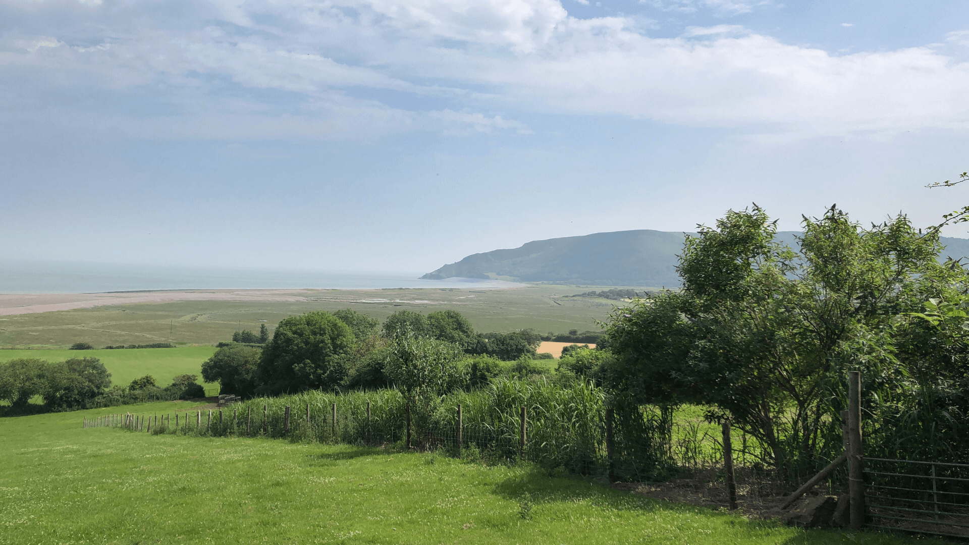
Another good wet weather walk through the woods, this circuit is about 2 miles long. From Porlock Weir follow the road up the hill with the Ship Inn on your right. At the top of the hill, turn right along the lane. Before you reach the arch at the start of the Worthy Toll Road, take the footpath up the hill to the left, and follow the Worthy stream up the hill. Once you reach the top of the woods, turn left and follow the path along the treeline. Then take the first signed footpath on the left, and follow the path downhill to return to Porlock Weir.
For a longer woodland walk, when following the treeline, take the second footpath on the left and follow the Bridleway signs down the hill. After three hairpin turns you’ll arrive at Porlockford. Turn left at the road to return to Porlock Weir.
Harbour to hilltop
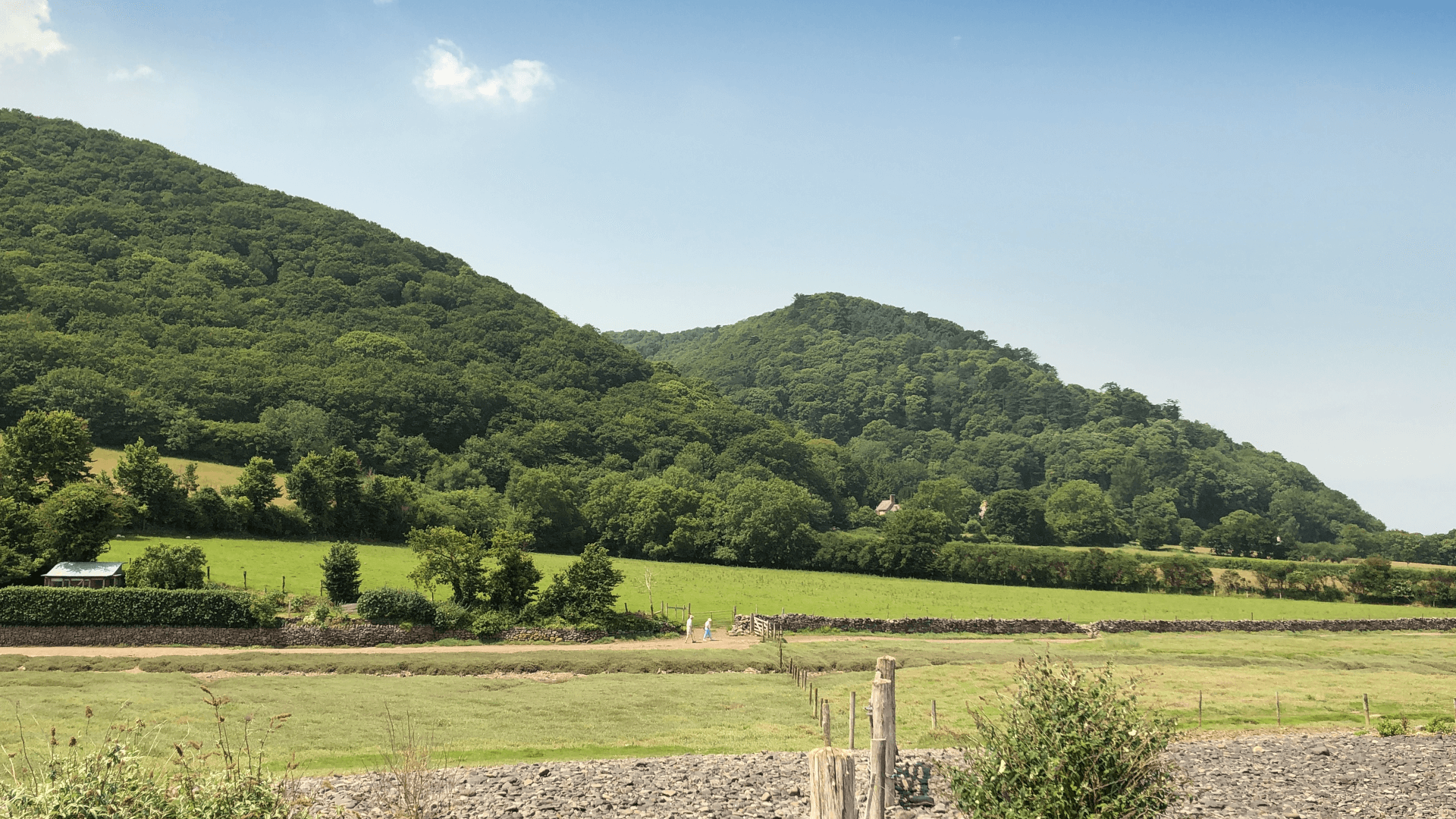
This 4.5 mile walk starts at sea level in Porlock Weir, and climbs up through ancient woodland to the open moorland. A strenuous 300m vertical ascent, but walkers are rewarded with spectacular views across Porlock Bay and the sea.
Starting at the Weir car park, follow the road up the hill with the Ship Inn on your right. At the top of the hill, turn right along the lane, and after around 50m take the first footpath on your right, heading up into the woods. After a couple of zigzag turns, at the junction with the bridleway take the main path leading up the hill. Continue on this path until you reach the toll road. At the toll road, turn right following the road up the hill and take the first footpath on your right. Climb through the fields, cross over the toll road again, and you arrive on the moor. Turn around, sit down, and enjoy the hard-earned view!
To return to the Weir, either retrace your steps, or follow the footpath straight down the hill until you reach the main Porlock > West Porlock > Porlock Weir footpath, and turn left to return to the Weir. (We advise you to take an OS map for this!)
Circular marsh and woodland walk
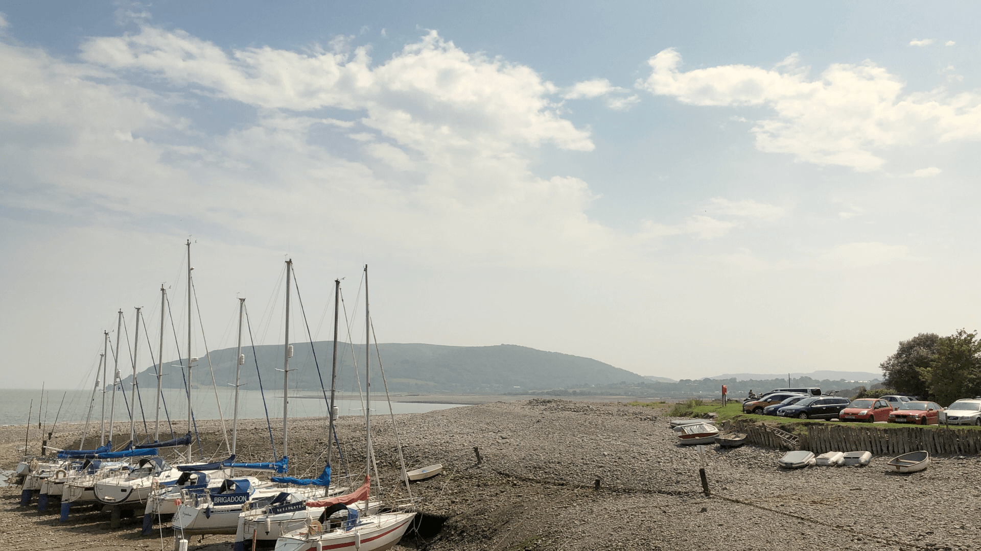
A delightful 4 mile circular route from the car park in Porlock Weir, along the pebbly Porlock beach and fringes of salty marshland to the village of Porlock.
From the car park, follow the shingle beach as it runs along the road, and then curves to the left along some fields. Do not continue along the shingle ridge as you will not be able to pass the breach. Instead, go right when the shingle meets the marshland and follow the path along the fence, to the war memorial (to eight American airmen who lost their lives when their bomber crashed into Bossington Hill in thick fog in 1942). Leave the Coast Path here, turning right, back towards Porlock, and follow the footpath to Sparkhayes Lane, using the path alongside the lane as requested.
Once in the village, take a right onto the high street and head for the Ship Inn. Follow the road uphill and then turn right after a few metres or so onto the toll road. Take the footpath off to the right about 200 yards on, and follow it through the woods and down to West Porlock. Do not turn right into the village, but carry on along the footpath through the woods, until you come to the footbridge which leads you onto the road at Porlock Weir. Take the footpath beyond, which will drop you onto the main road and back down to Porlock Weir.
Longer walks
(over 5 miles long)
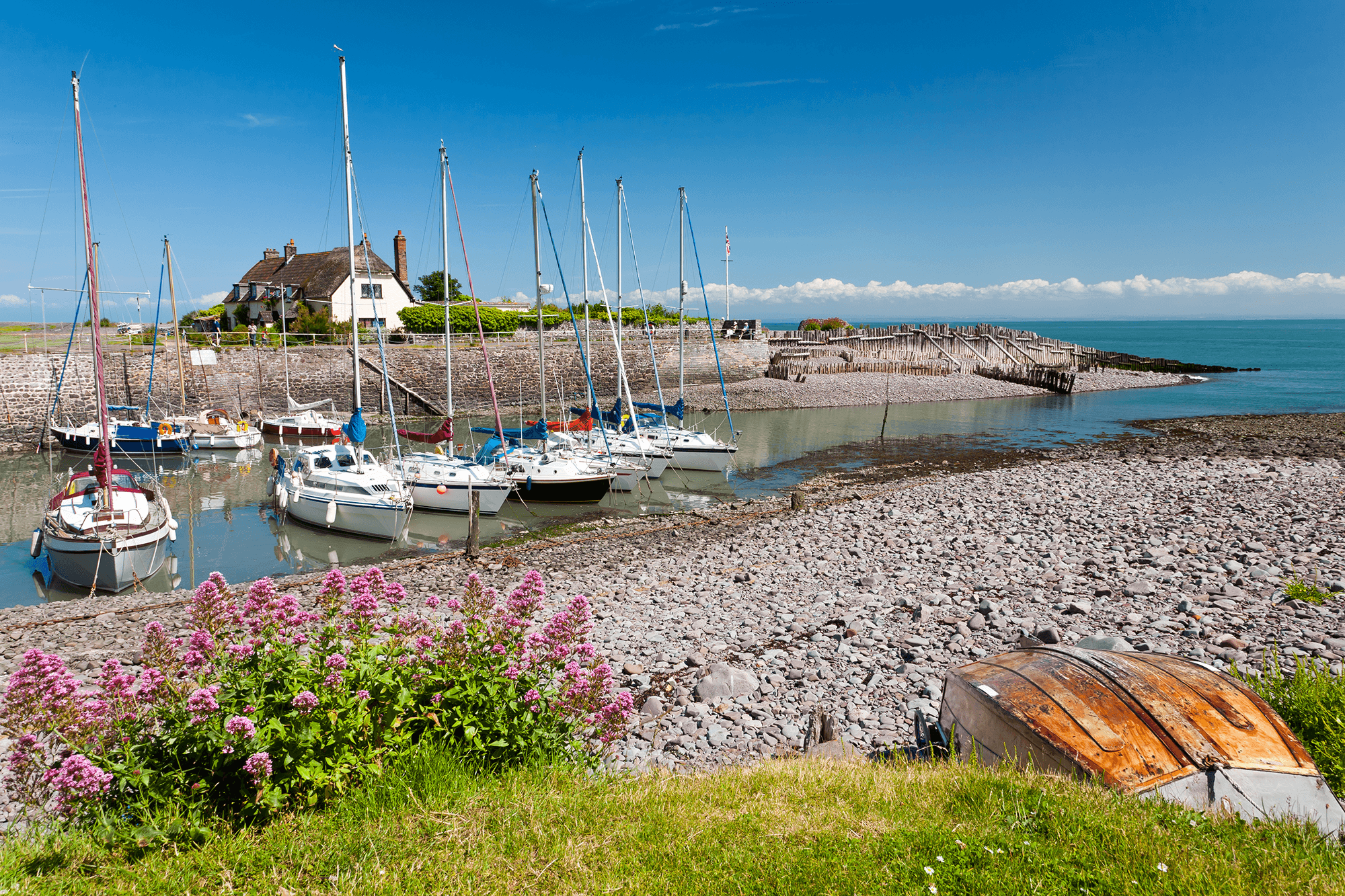
The South West Coastal Path website is a great source of information on walks in the immediate and surrounding area. It details a number of longer walks, including those outside of the South West Coastal Path, a handful of which have been outlined below.
Starting from Porlock Weir, this 5 mile circular walk will take you to Culbone Church, said to be the smallest in England – seating only 30 people and inaccessible by road. There are spectacular views across the Bristol Channel on a clear day, and the route passes the romantic remnants of Lord Byron’s daughter’s gothic mansion, with tunnels carved out of the hillside by nineteenth-century Swiss mountaineers. The return journey loops inland via Ash Farm, which is where Samuel Taylor Coleridge was said to be staying when he wrote Kubla Khan.
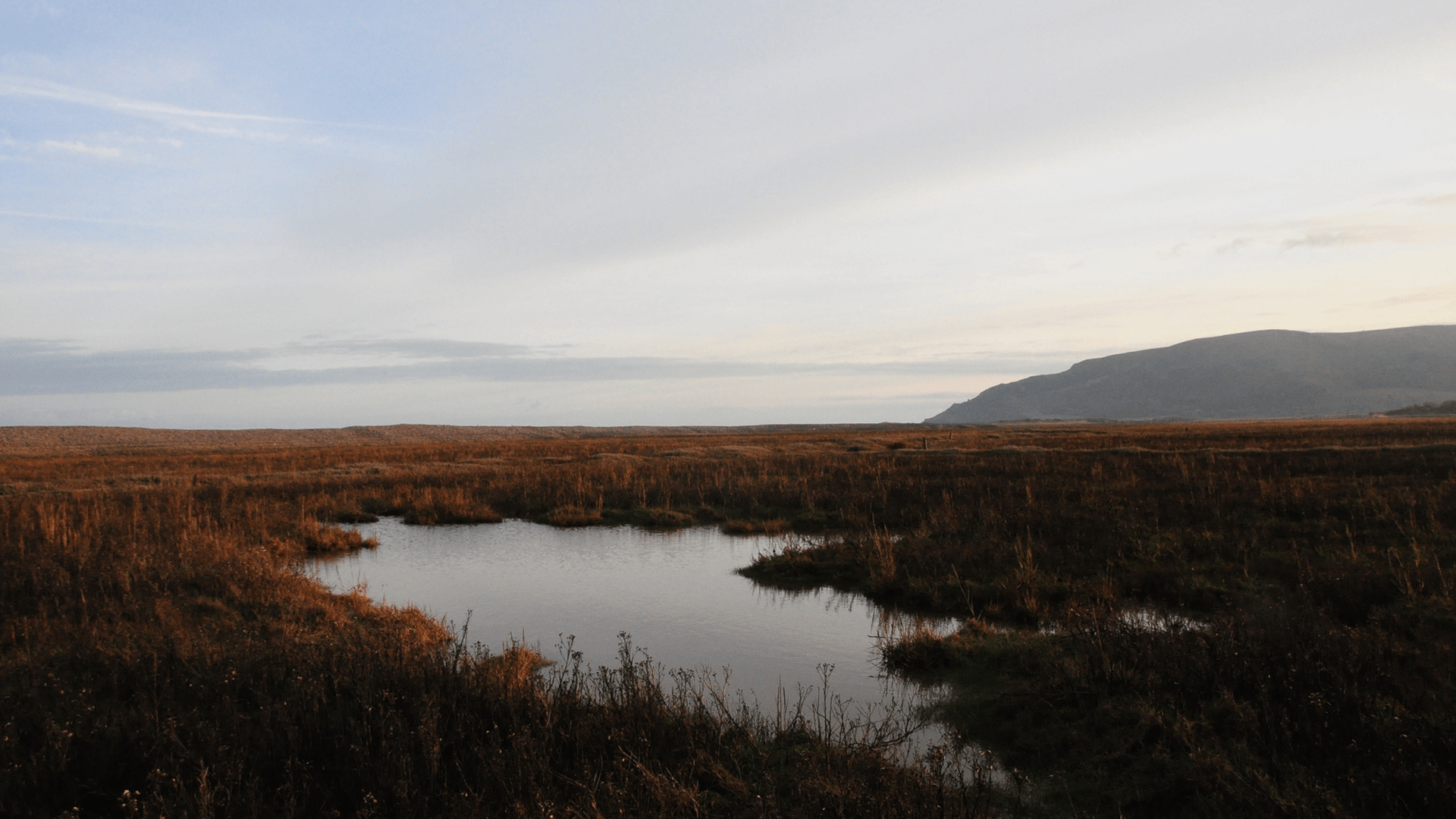
An adventurous 8 mile walk, via Porlock marsh and Bossington car park, to Hurlstone Point. There you will be able to see the abandoned coast guard lookout tower, which was built in 1902 and remained in use until 1983. It was manned until after World War II, and housed a rocket warning system and rescue equipment. This walk includes a 275m ascent up Bossington Hill, and down again. Those who opt for this will be rewarded with some sensational views back over Porlock Bay to the Weir and beyond.
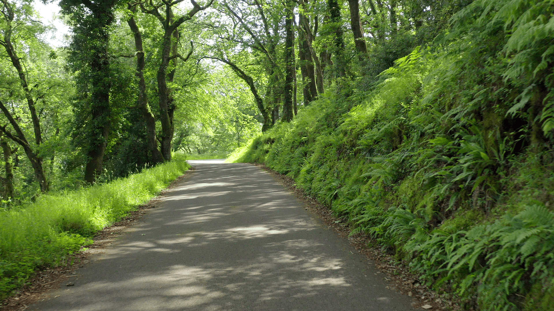
Leave the pavements of Minehead behind as you set off onto the first section of the 630 mile South West Coastal Path trail. This 9 mile walk takes you through woodland, along steep cliff tops, farm tracks and up and down beautiful wooded combes with bracken, gorse and bubbling streams. Exmoor boasts the highest coastline in England with cliffs rising to 250m, so there are some steep climbs and descents involved in this walk. You can choose to follow the dramatic route which runs closer to the coast, or stay more inland on the moor and enjoy the spectacular views from Selworthy Beacon.
Porlock Weir to Lynton
A spectacular 12 mile part of the South West Coast Path. Follow signs for the coast path from Porlock Weir. The route climbs through the woods at the bottom of Worthy Combe, and winds through a number of tunnels reputedly designed by Ada Lovelace. The star mathematician is known as the world’s first computer programmer, and used to walk in these woods as she developed the thinking which became the earliest algorithm. After passing through England’s smallest church at Culbone, prepare for breathtaking views of England’s highest sea cliffs as you wind through wild coastal woodland.
A bus service from Lynmouth to Porlock can make this into a round trip, or for the more adventurous, the Coleridge Way has an inland route.
